Fast Forecast
Thursday, September 21, 2023
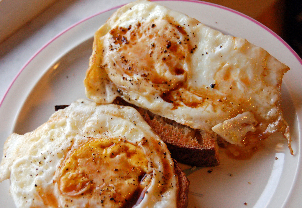
Cooking
#Food Porno
Monday, September 18, 2023
Food
#CookingLove
White Chocolate Cheesecake with Caramel Glaze
#I Want More
Saturday, September 16, 2023
NomNomNom
#Food Pix
Friday, September 15, 2023
Eat
#Food Porno
Thursday, September 14, 2023
Foodgram
#NomNomNom
Wednesday, September 13, 2023
Yummylicious
#FoodPics
Older Posts
Home
Subscribe to:
Posts (Atom)